
Mary Carter Greenway Study
Consultation has concluded
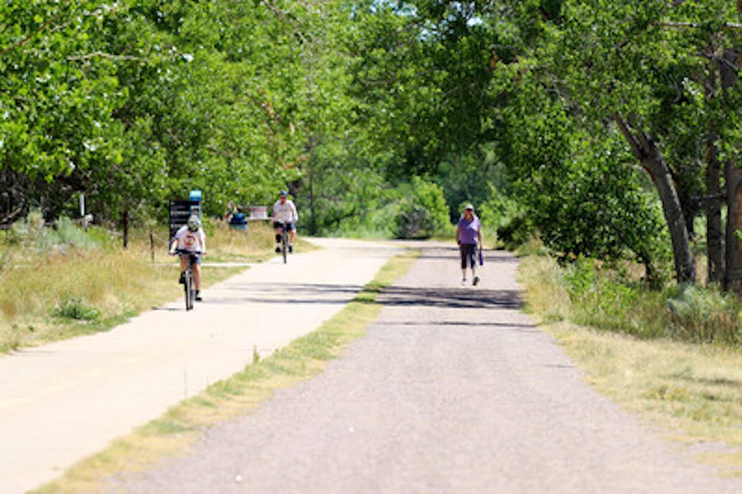
The Mary Carter Greenway is one of the busiest regional multi-trails in the metro area with over 300,000 recorded trail users annually within South Platte Park. Spanning 8.25 miles from C-470 to Hamilton Place, the trail crosses through the cities of Littleton, Englewood, and Sheridan. In the fall of 2022, South Suburban and Arapahoe County Open Spaces kicked off a study to identify potential improvements to improve access and enhance trail users' experience. Explore this page to gain insight into this planning project and provide your thoughts on enhancing the Mary Carter Greenway.
Use the "Subscribe" tool in the right column on this page to sign up to receive project updates.
Questions about this project? Ask them here and a member of our team will respond.
Who's Listening

Funding Partners
